




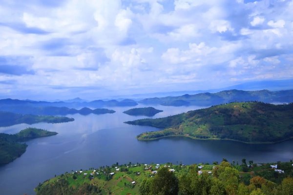
The nomination seeks to place the region among a select network of landscapes recognised by the United Nations Educational, Scientific and Cultural Organisation (UNESCO) for their exceptional geological significance, biodiversity, cultural heritage and contribution to sustainable development through education and tourism.
Understanding the UNESCO Geopark network
A UNESCO Global Geopark is a geographically unified area that contains sites and landscapes of international geological importance. Beyond protecting geological features, geoparks promote scientific research, environmental conservation, education and community-based tourism while preserving the cultural heritage associated with these landscapes.
Such areas are typically characterised by remarkable natural features, including volcanoes, caves, unique rock formations, valleys and lakes that tell the story of the Earth's evolution over millions of years.
Currently, the UNESCO Global Geopark Network comprises 241 sites spread across 51 countries. In Africa, only Morocco, Tanzania, and Tunisia have areas that have received this prestigious designation.
As part of the evaluation process, Rwanda is presenting the Northern Province's outstanding geological and ecological sites, demonstrating how they meet UNESCO's strict criteria. Among the key attractions are the twin Lakes Burera and Ruhondo, the Musanze Caves, Rugezi Marsh, Mount Bisoke's crater lake and Volcanoes National Park.
The Geological wonders of the twin lakes and caves
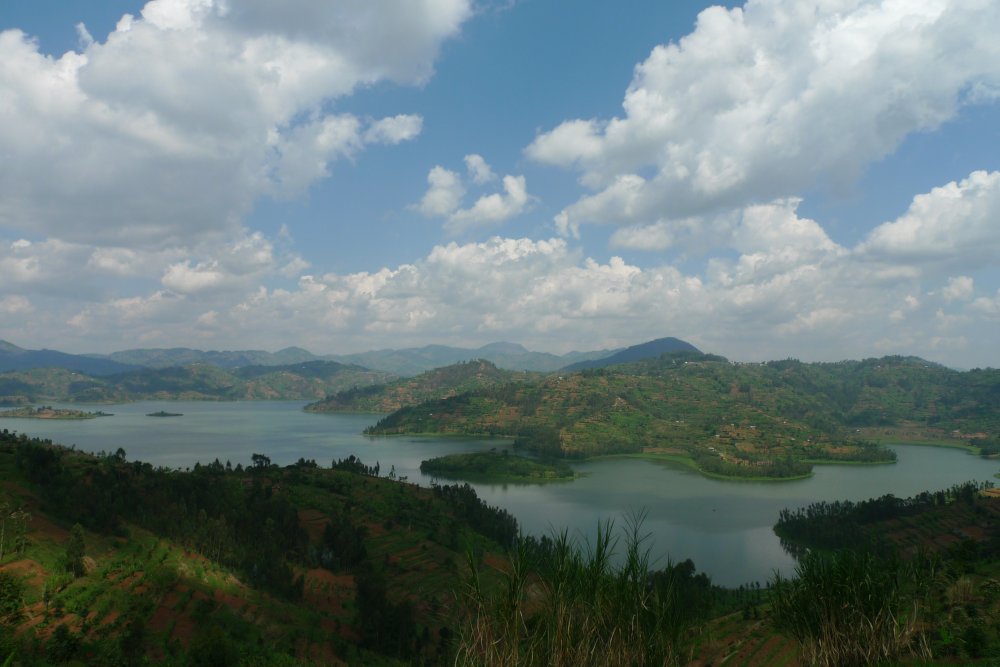
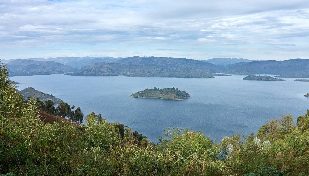
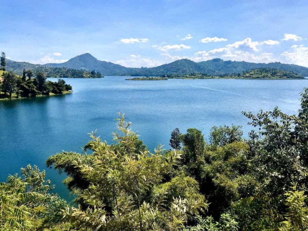
Lakes Burera and Ruhondo are among Rwanda's most spectacular natural landscapes, distinguished not only by their scenic beauty but also by their remarkable geological origin. The two lakes are textbook examples of lava-dammed lakes, formed following volcanic eruptions from Mount Karisimbi and Mount Muhabura. During these eruptions, molten lava flowed into the ancient river valleys, blocking the waterways.
The lava accumulations caused water to back up, eventually forming large reservoirs that stabilised into what are now Lakes Burera and Ruhondo, with their drainage redirecting southward.
The same volcanic activity also created nine islands that dot the lakes today. Besides their geological significance, the lakes play an essential role in Rwanda's hydrological system. Water from Lake Burera flows into the Rugezi River before reaching Lake Ruhondo, from where the Mukungwa River emerges to supply water used in electricity generation at the Ntaruka Hydropower Plant.
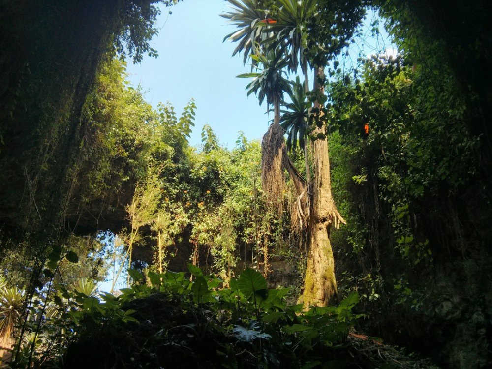
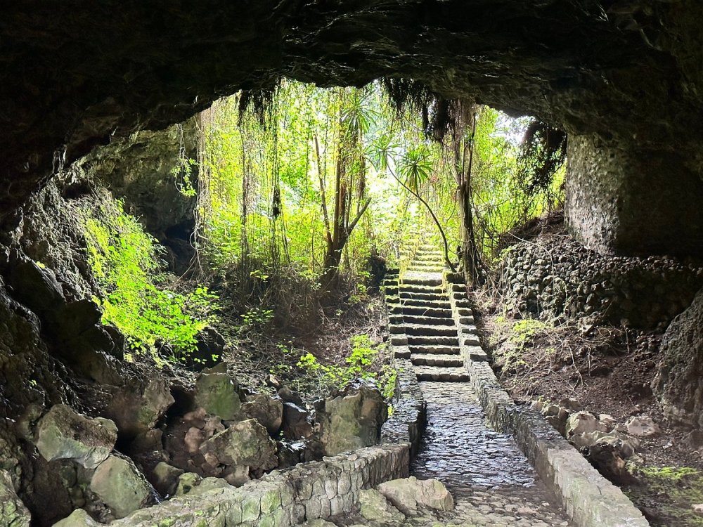
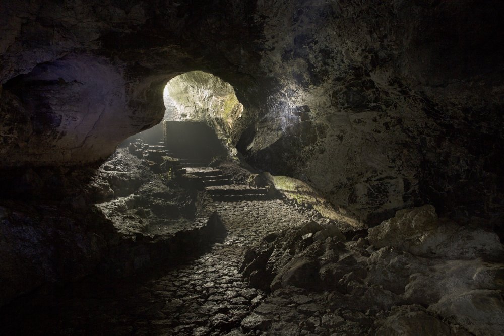
Another landmark highlighting the province's volcanic history is the Musanze Caves, one of Rwanda's best-known geological attractions. The caves were formed by lava flows from eruptions of Mount Bisoke and Mount Sabyinyo.
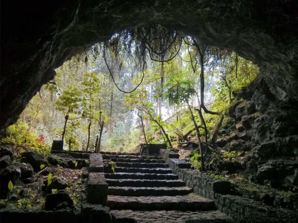
As molten lava travelled across the landscape, its outer layer cooled and hardened upon contact with the atmosphere, while the lava beneath continued flowing. Once the molten rock drained away, it left behind extensive underground tunnels that now form the cave system.
The Musanze Cave extends approximately 1,275 metres, while the nearby Kinigi Cave measures about 810 metres. Throughout the network, the caves vary between three and ten metres in width and between ten and forty metres in depth, making them one of the country's most impressive volcanic formations.
Ecological wealth of Rugezi Marsh and the Virunga Peaks
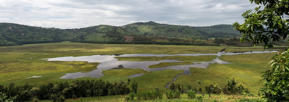
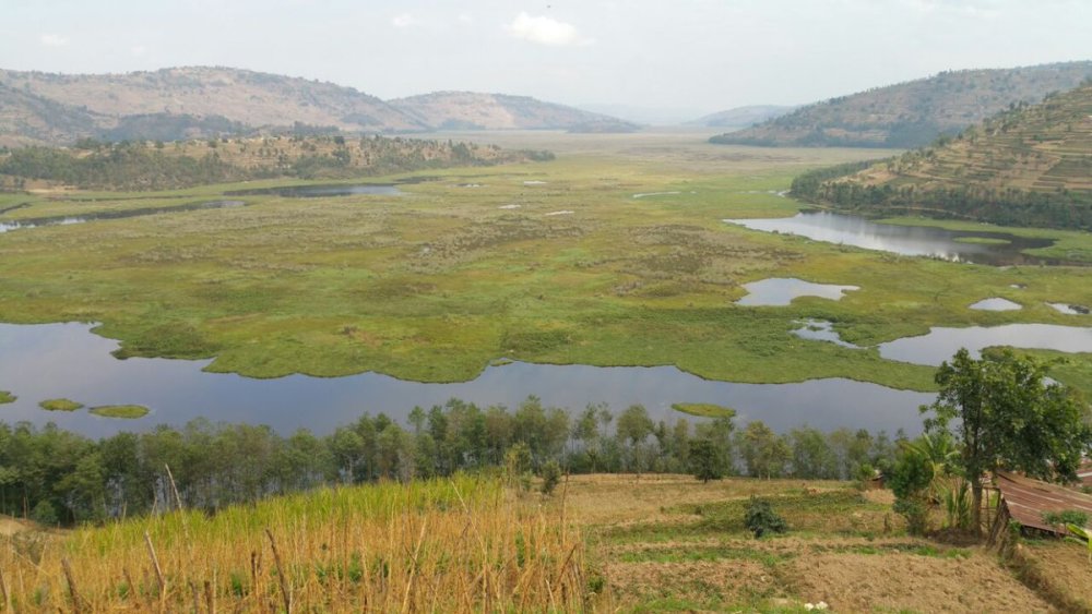
Equally important is the Rugezi Marsh, a wetland covering more than 7,000 hectares across Gicumbi and Burera districts. The marsh is one of Rwanda's most significant freshwater ecosystems, serving as a critical water catchment area while naturally filtering water before it flows into Lakes Burera and Ruhondo. These lakes, in turn, supply water to the Ntaruka and Mukungwa hydropower stations.
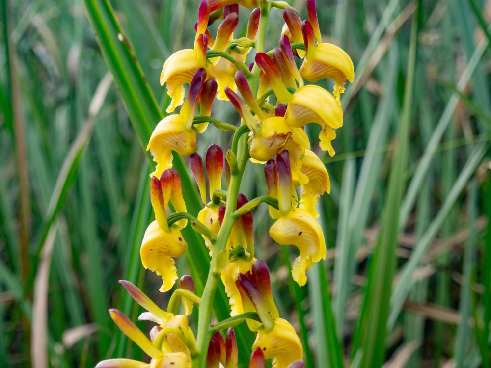
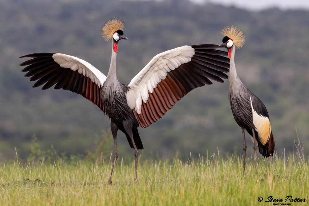
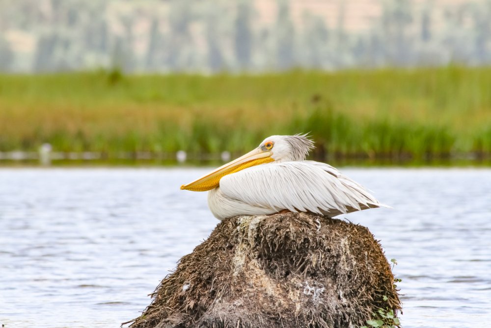
Rugezi Marsh is also one of Rwanda's richest biodiversity hotspots. The wetland is recognised internationally as an Important Bird Area (IBA) sheltering roughly 194 bird species, including the endangered Grauer's swamp warbler.
Across the wider catchment ecosystem, scientific inventories have documented hundreds of species, comprising unique high-altitude plants, insects, amphibians, reptiles, and over 20 species of bats, with several organisms documented in Rwanda for the first time.
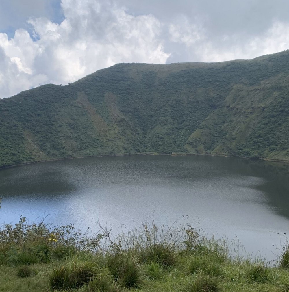
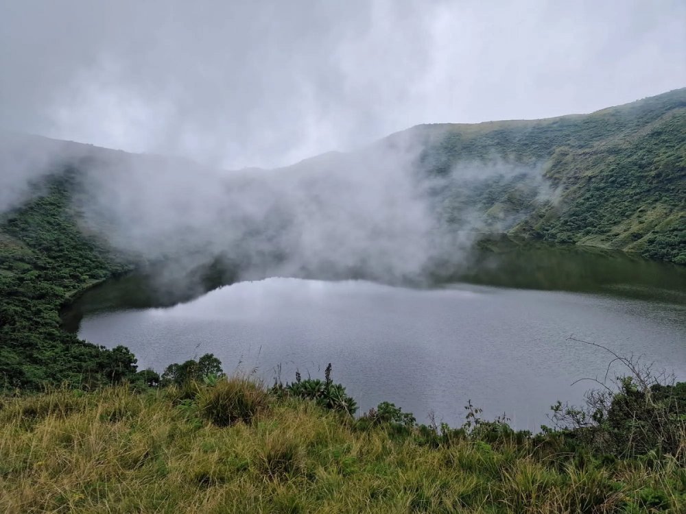
Towering above the surrounding landscape, Mount Bisoke is home to one of Rwanda's most iconic natural features, a crater lake perched at an altitude of 3,711 metres above sea level. The lake occupies a summit volcanic crater measuring roughly 400 metres across, making it one of the country's most popular hiking destinations.
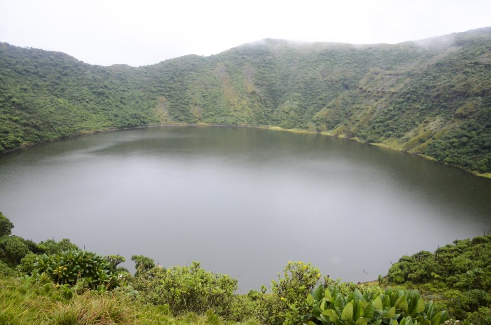
The crater lake was formed after the volcano became dormant, leaving behind a steep depression at its summit. Over time, rainwater accumulated within the enclosed crater, creating the lake that now attracts thousands of visitors each year.
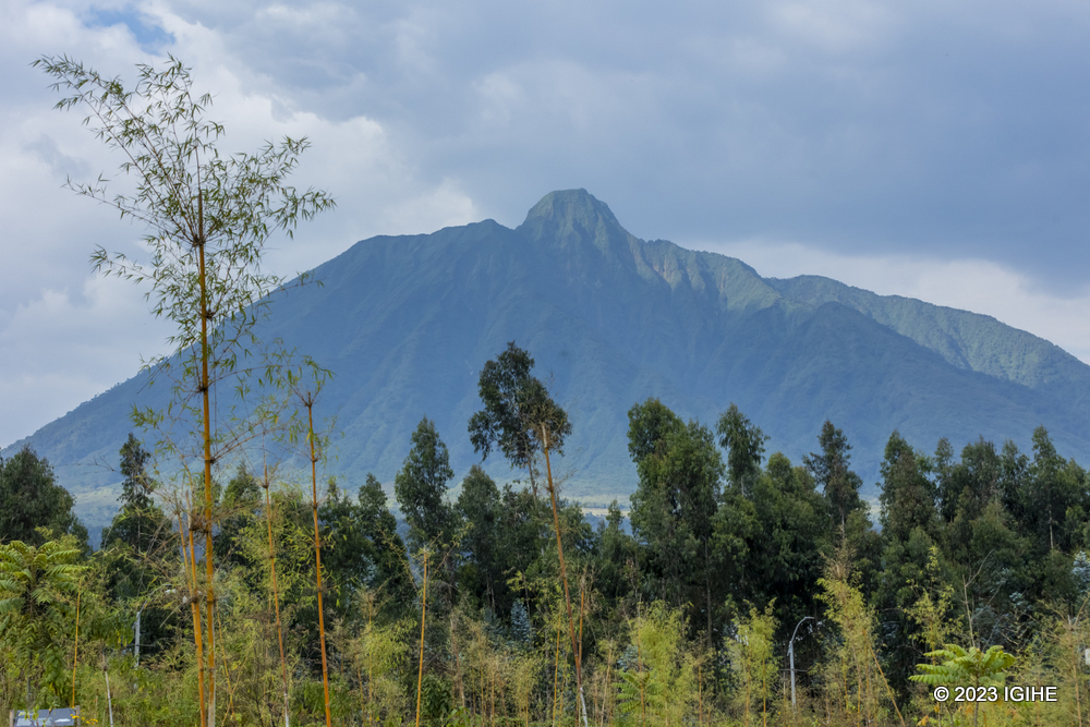
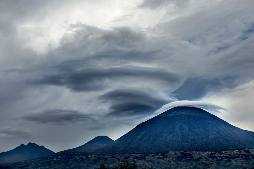
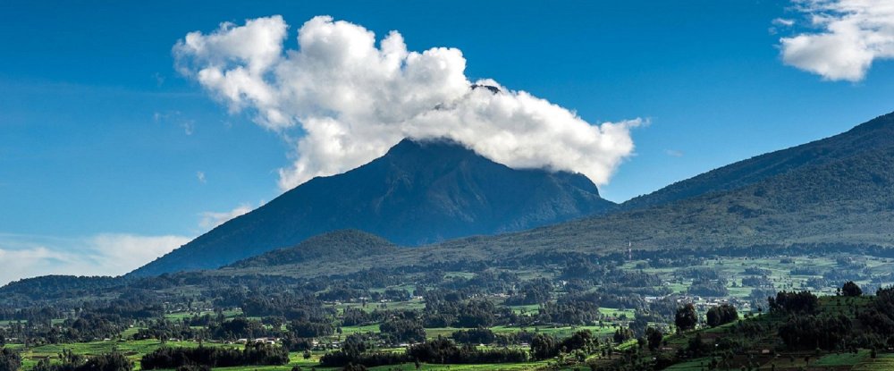
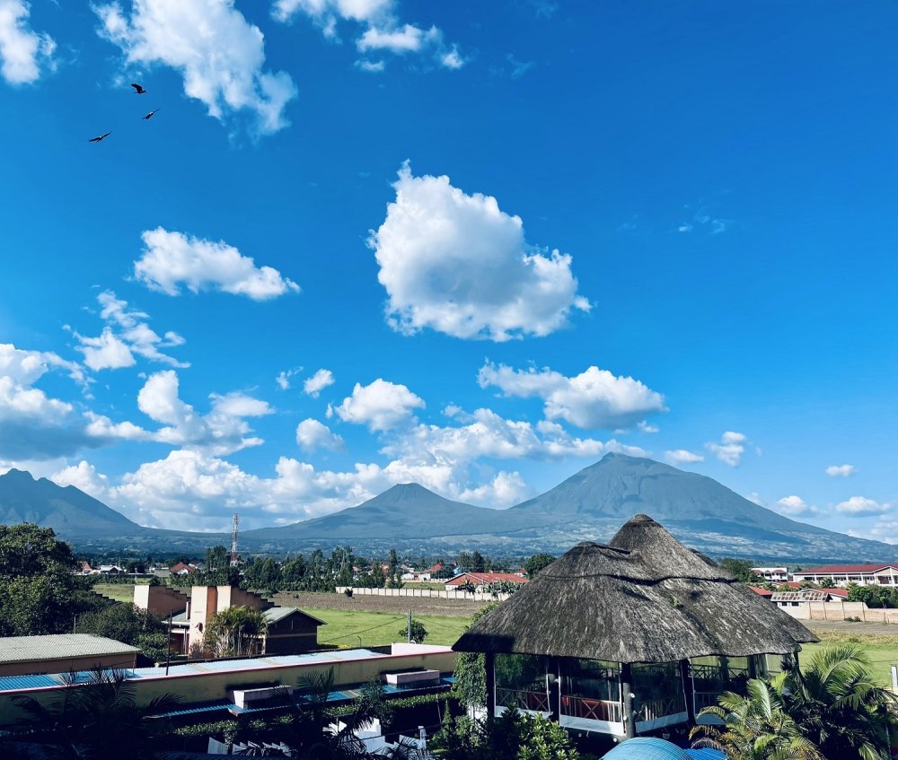
Volcanoes National Park further strengthens the Northern Province's case for UNESCO recognition. Located in Rwanda's northwestern region, the park covers approximately 16,000 hectares and encompasses five of the Virunga volcanoes: Karisimbi, Bisoke, Sabyinyo, Gahinga and Muhabura.
The park is internationally renowned as the habitat of the endangered mountain gorilla and remains one of Rwanda's leading tourism destinations, attracting visitors from around the world to experience its unique volcanic landscapes, forests and wildlife.
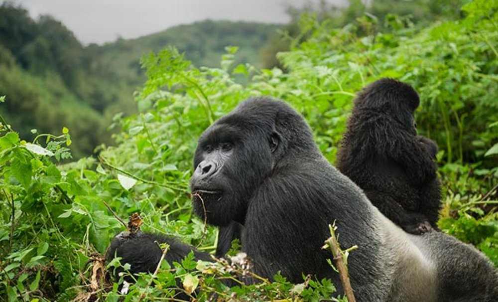
Much of the Northern Province's extraordinary landscape was shaped by the East African Rift System, one of the world's most significant geological processes.
The rift was created as tectonic forces gradually pulled apart sections of the Earth's crust, allowing magma from deep beneath the surface to rise. Over millions of years, repeated volcanic eruptions sculpted the mountains, caves, crater lakes, wetlands and lava formations that define the region today.
It is this exceptional combination of geological history, biodiversity, ecological importance, scientific value and tourism potential that qualifies the Northern Province for UNESCO Global Geopark status.
If successful, the designation would place Rwanda alongside a select group of nations preserving globally significant geological heritage while promoting sustainable development through conservation, research and responsible tourism.
Loading comments...
Leave a comment